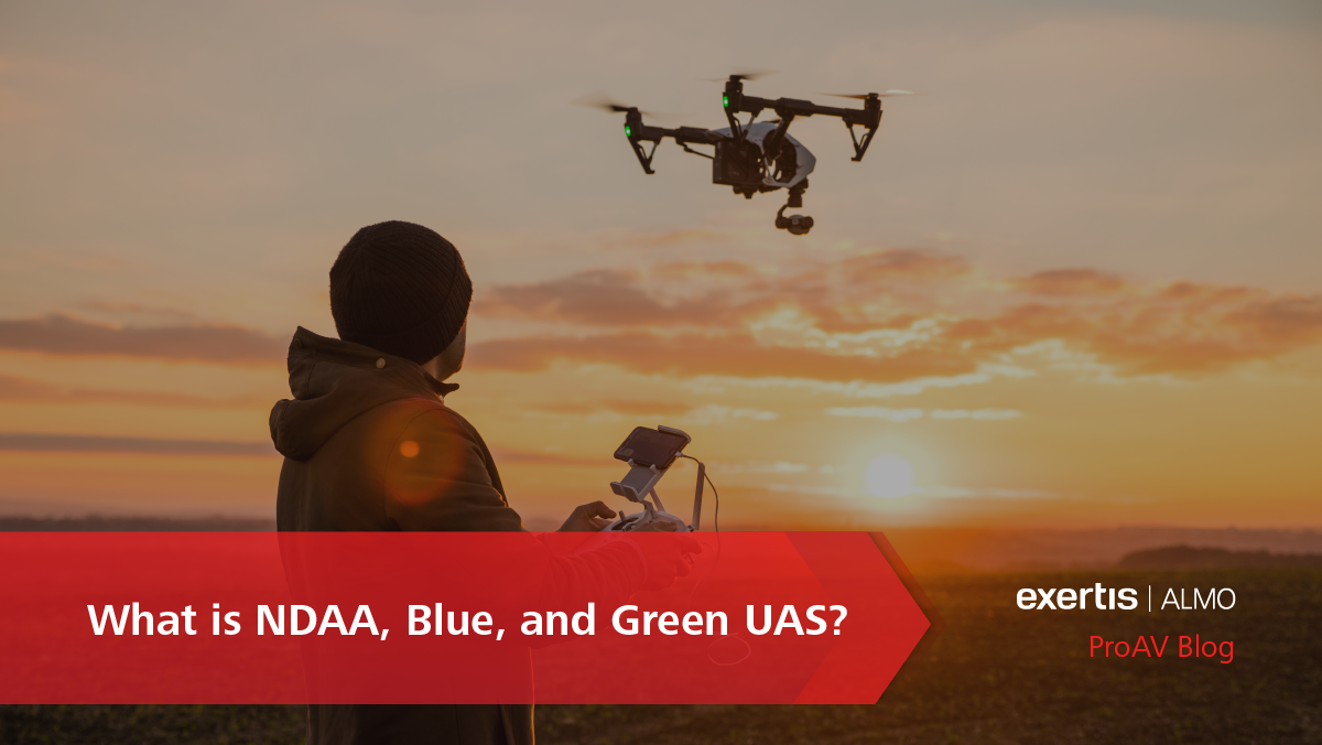
Innovation in Flight
Featured Brands


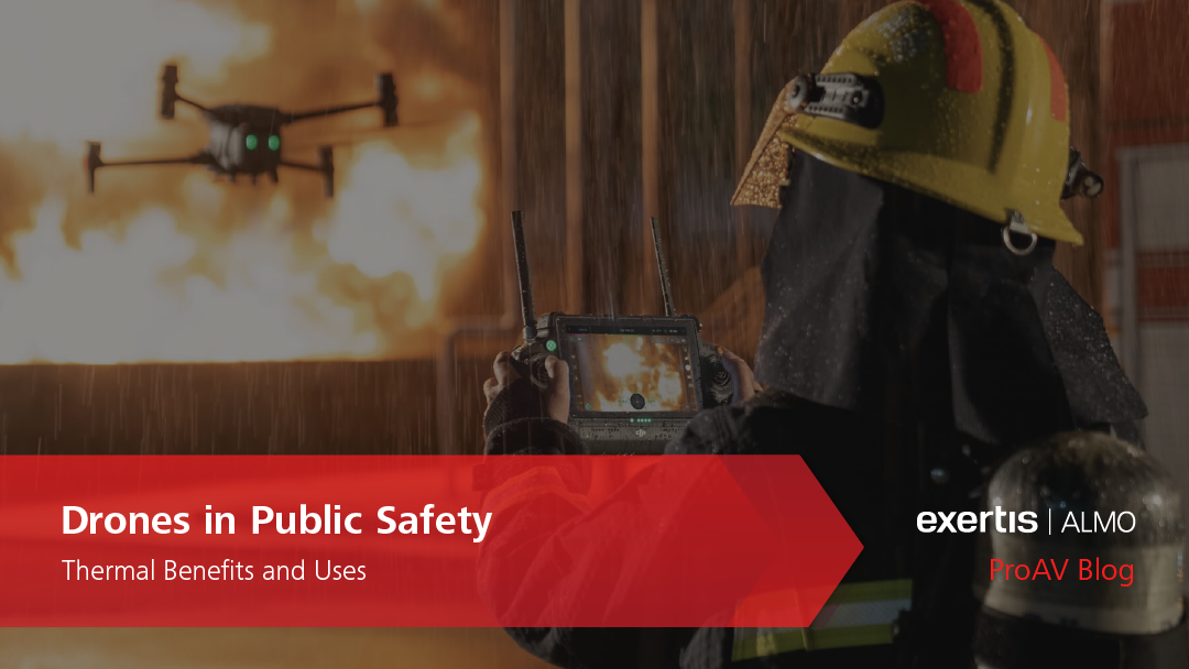
Drone technology enhances public safety by providing aerial surveillance, rapid response to emergency situations, and real-time data collection. They assist in search and rescue operations, monitor large crowds, and support disaster management efforts by accessing hard-to-reach places.
Learn MoreGovernment agencies use drones to improve service delivery, enforce regulations, and enhance civic engagement. Applications range from infrastructure inspections and environmental monitoring to urban planning and border surveillance.
Learn MoreIn construction, drones streamline project management by offering aerial views for sight surveying, progress monitoring, and ensure compliance with safety standards. They help facilitate precise mapping, reduce project timelines, and improve worker safety.
Learn MoreAgriculture benefits from drone integration through precision farming techniques, which include crop monitoring, soil and field analysis, and targeted pesticide application. This leads to increased crop yields, reduced waste, and optimized resource management.
Learn MoreDrones in mining enhance operational efficiency and safety by conducting geological surveys, monitoring open-pit mines, and reducing the risks to human life in hazardous situations. They provide valuable data for site planning, risk assessment, and environmental compliance.
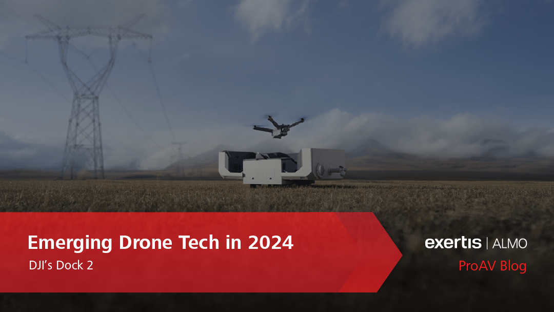
Learn MoreDrones assist in the maintenance and monitoring of utilities and infrastructure by inspecting powerlines, pipelines, and other critical structures. They facilitate rapid damage-assessment, ensure service continuity, and enhance worker safety.
Learn MoreIn every stage of education, drones have the potential to create dynamic learning experiences for students. From hands-on STEM education to aerial photography, drones encourage student engagement, innovation, and practical thinking.
Learn MoreThe introduction of professional drones has dramatically improved our modern-day marketing, advertising, and entertainment industries. Providing unique aerial shots never-before captured, story-telling and audience engagement has never been more advanced.
Learn More